Mappt GIS Data Collection
Category : Productivity
Author Name : Mappt: GIS Data Collection
Operating System : android
License : Free
Rating : Everyone
Mappt GIS Data Collection Download Links for Android
Mappt GIS Data Collection Screenshot
About Mappt GIS Data Collection Android Application
Mappt GIS Data Collection is a powerful Geographic Information System (GIS) field data collection app that combines user-friendly functionality with industry-leading features for various use cases spanning agriculture, mining, environmental management, and local government in over 130 countries. With an intuitive interface and seamless integration with desktop GIS platforms like ArcGIS and QGIS, Mappt GIS empowers users to create, edit, store, and share location-based data, optimizing data collection and streamlining field operations.
Application Official Website
https://mappt.com.auApplication Support Email
[email protected]Application Main Features
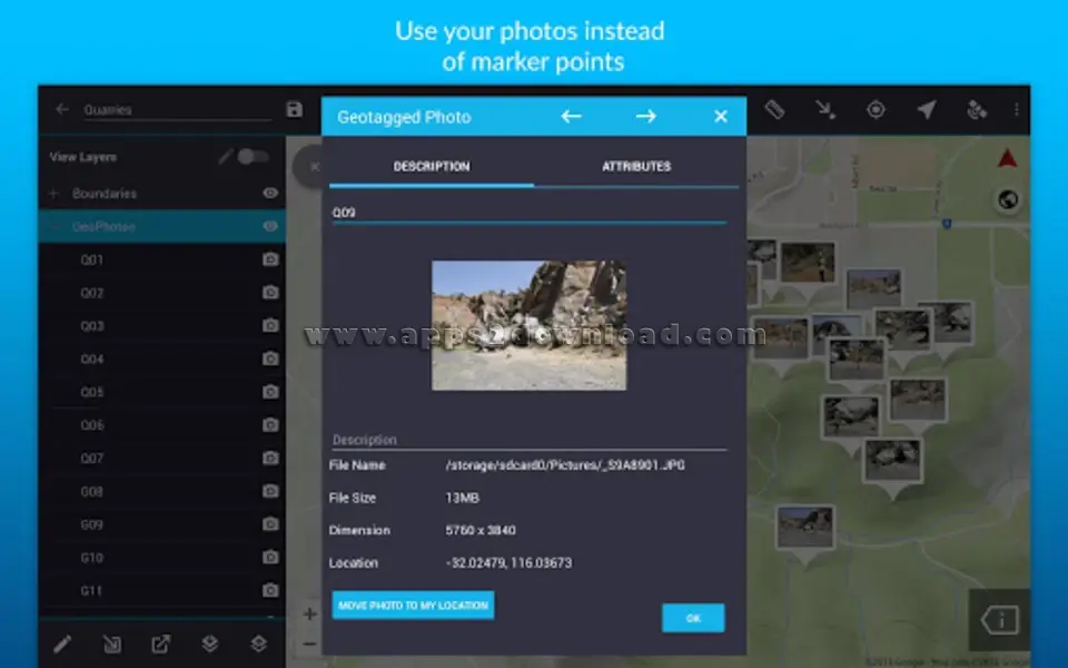
- Geotagged photos.
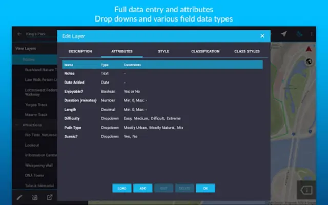
- Drop down forms.
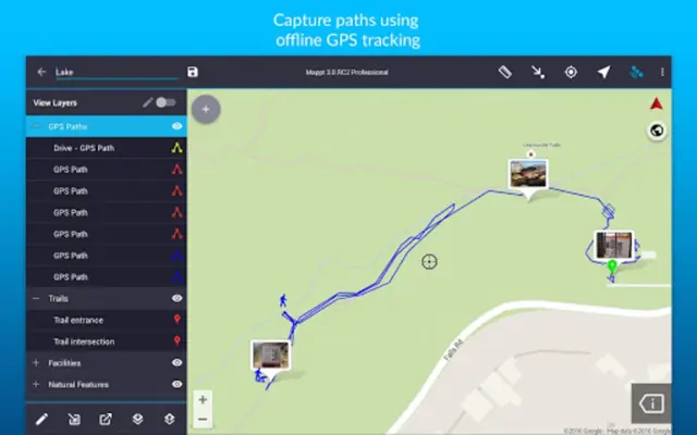
- Offline GPS tracking.
- On-screen annotation tools.
- Read and download a full suite of WMS/WFS & WMTS datasets.
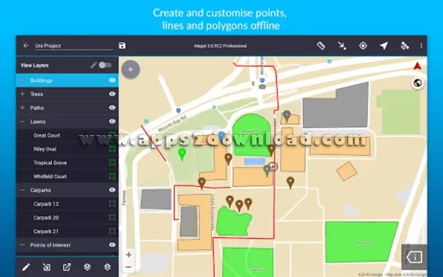
- Points, polygons and polylines.
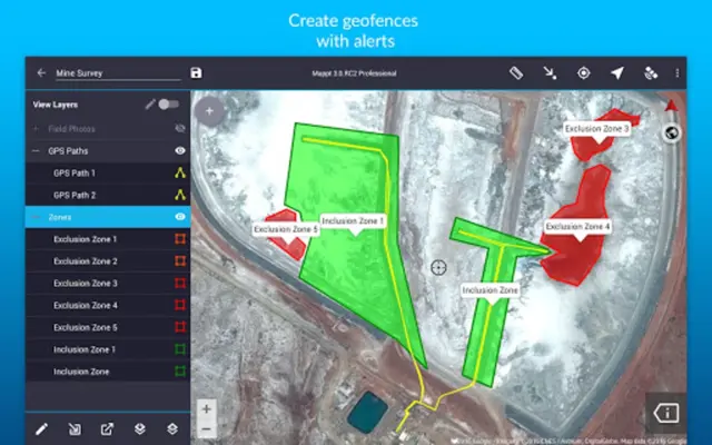
- Geofencing capabilities.
- Overlay coordinate grids.
- Street view mode with on-screen annotations available.
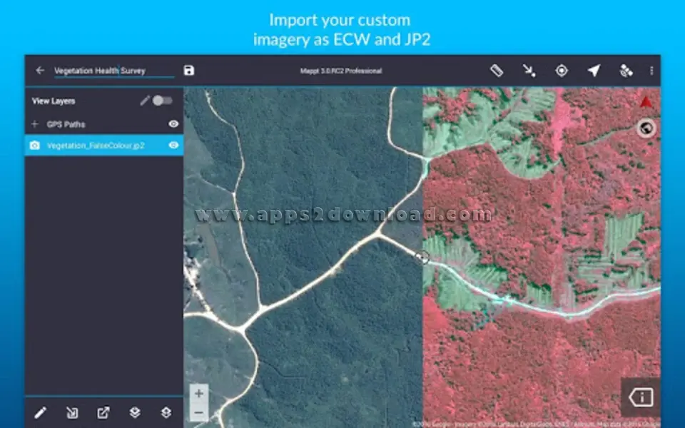
- Import unlimited sized satellite, aerial, geological, topographic, elevation and other types of imagery in ECW and JP2 format.
Application Ratings
The content is rewritten by Gemini Ai ,Published Date : 2/3/2024 , Modified Date : 2/3/2024
